Write an Airstrip Report
Airstrip Info
| Frequency | 122.90 |
|---|---|
| Elevation | 7335 ft |
| Lat/Long |
37.6654, -110.0271 37° 39.924' , -110° 1.626' |
| Runway 5/23 |
4000 ft
Dirt |
| Ownership | BLM NM |
Weather
See more at the National Weather Center
Backcountry airstrips are inherently dangerous. It is the sole responsibility of the Pilot in Command to ascertain airstrip conditions prior to use. Be certain to consider environmental, aircraft, and personal factors when determining suitability.
Use of the airstrips is at the sole discretion of the Pilot in Command. Fly safe!
Information updated April 25, 2024 @ 5:08pm
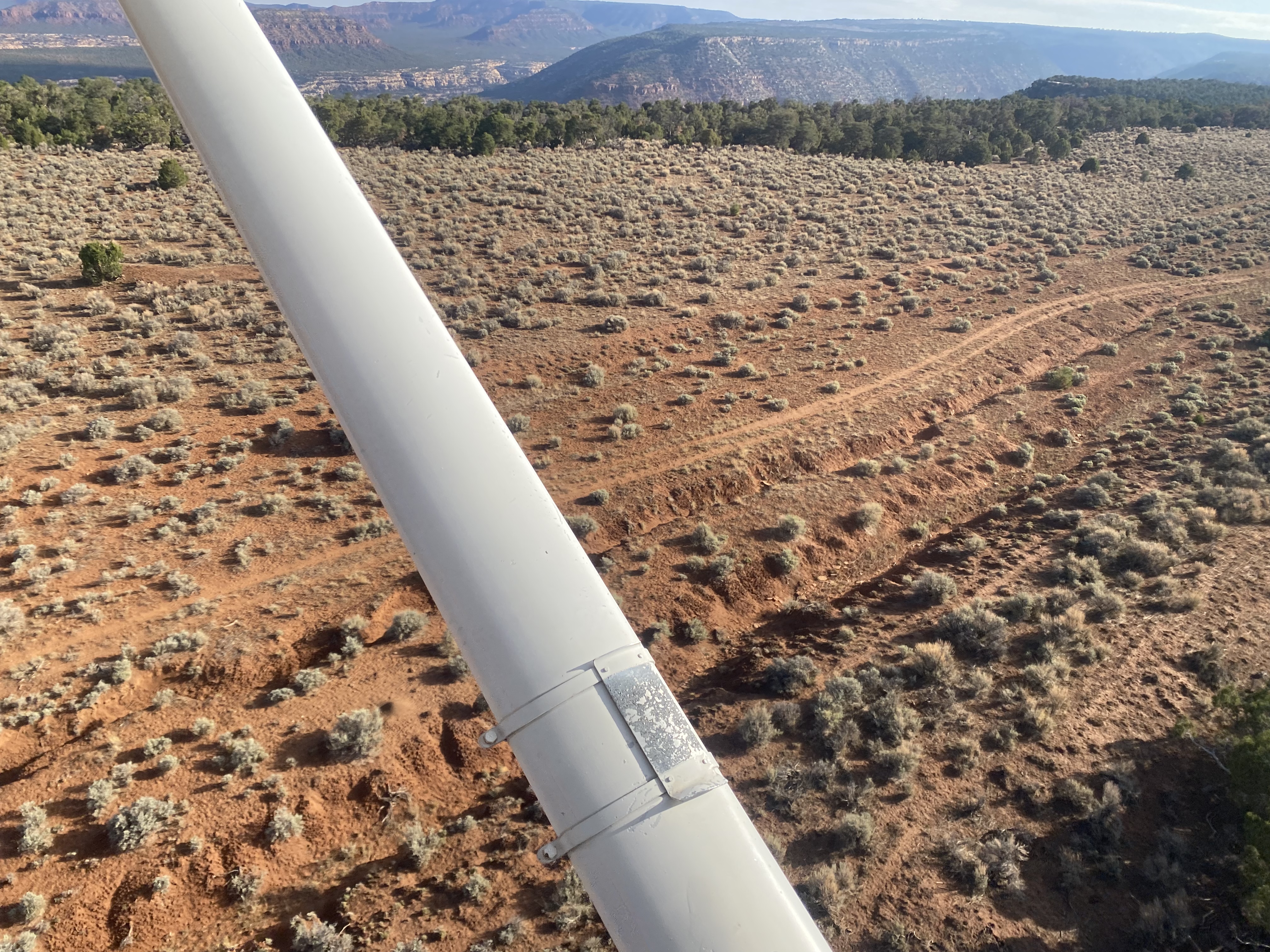
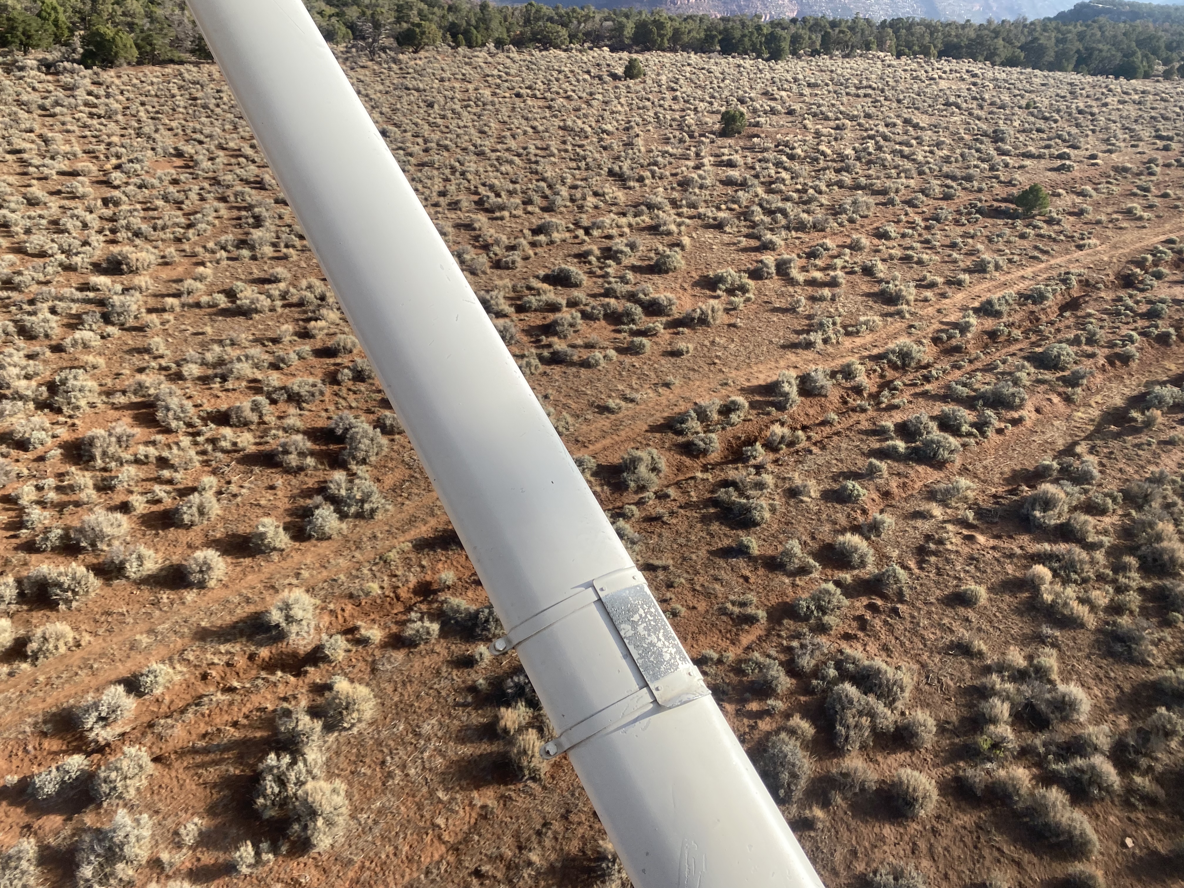
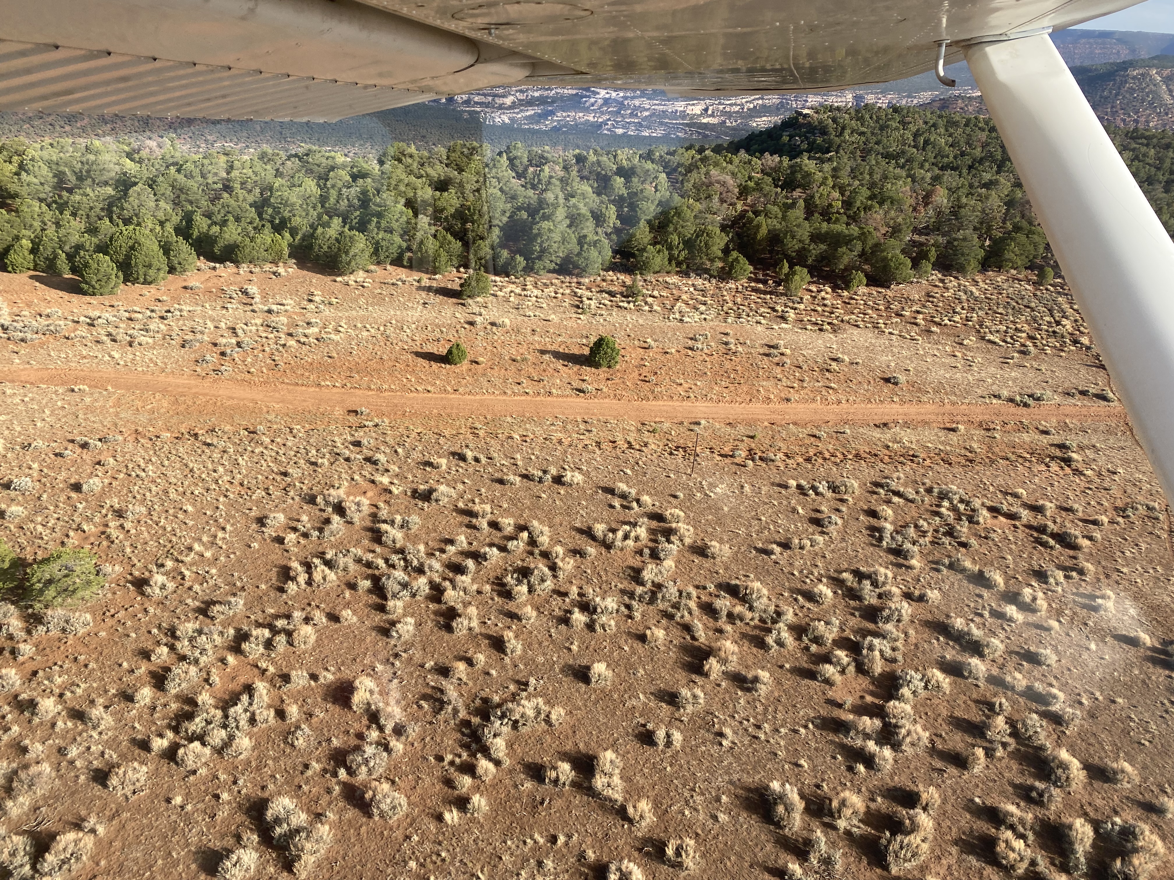
Strip is visible. Erosion also visible on the southwest 2/3s. Northeast 1/3 portion where the road runs through it may be useable. Looks to otherwise be overgrown with brush.
No recreational activities for Deer Flat yet! Add one now!
Make your Flight Plan at SkyVector.com
Deer Flat's airstrip has been identified on USGS maps since 1954. You can view this historic map below or download it by clicking here.